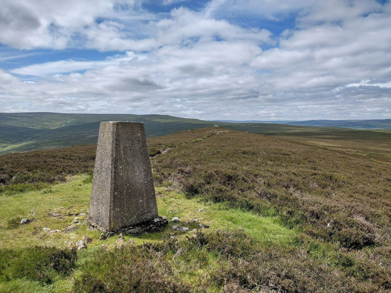
Catterick Moss Trig Point
Trig Point In Stanhope, County Durham
The Catterick Moss trig point is on moorland (426m) near Stanhope.
Height - 426m// Bracket - S4249 // Postcode - DL13 2TA
Login to be able to bag trig point and see which trig points are left on your to do list.
Login To Bag Trig Points
This is the Catterick Moss trig point (426m) near Stanhope.
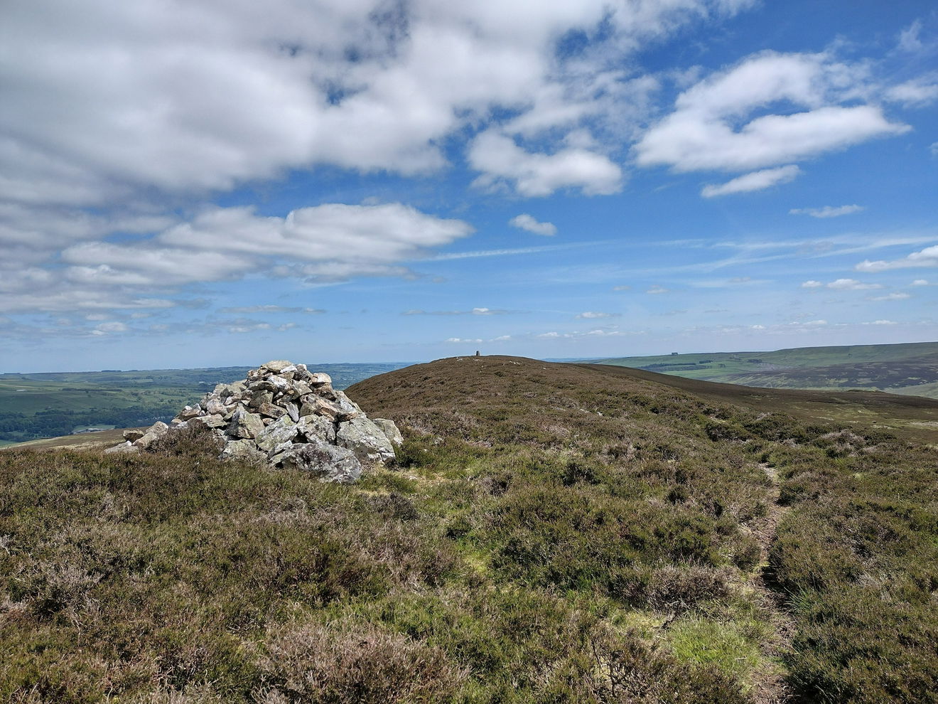
Follow one of the numerous small tracks heading ESE.
The tracks lead up the heathery hill to the trig point.
This route is just over 1km and just over 30m of ascent.
Follow the above route, or find on OS Maps.
Login to be able to bag trigs and see which trigs are left on your to do list.
Login To Bag Trig PointsHow To Find Catterick Moss Trig Point
Where Is Catterick Moss Trig Point?
Lat / Long
54.718434, -2.0096394
What three words
Where To Park For Catterick Moss Trig Point?
Lat / Long
54.721634, -2.027256
What three words
There is parking for three cars on the east side of the B6278.
More Trig Points Near Stanhope
Find more trig points near to Stanhope, County Durham.

Bollihope Carrs Trig Point
541m Bracket S6631 StanhopeThe Bollihope Carrs trig point sits on Snowhope Moor (541m) near Stanhope.

Sand Edge Common Trig Point
353m Bracket S4248 StanhopeThe Sand Edge Common trig point is on Wolsingham North Moor (353m) near Stanhope.

Horseshoe Hill Trig Point
520m Bracket S6723 StanhopeThe Horseshoe Hill trig point is sitting on Edmundbyers Common (520m) near Stanhope.

Find Us On Facebook
Come and join our friendly Facebook group and share photos of your trig bagging.
Or ask any questions about the trig points in Durham.
Join Durham Trigs Facebook Group