Dry Rigg Trig Point
Trig Point In Rookhope, County Durham
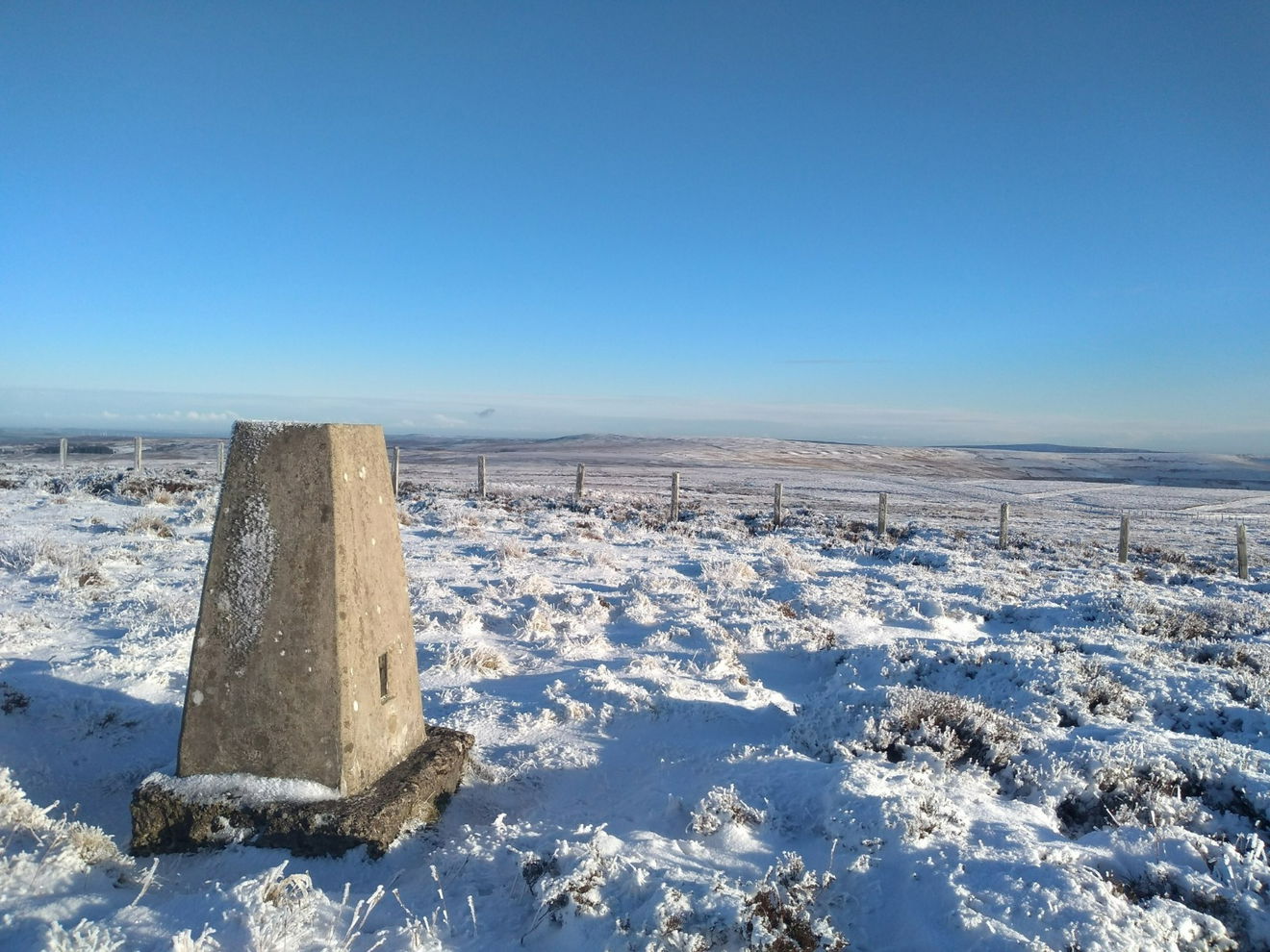
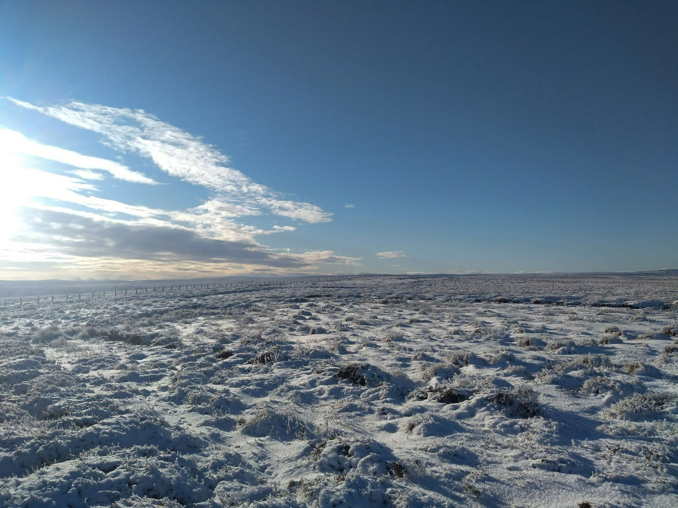
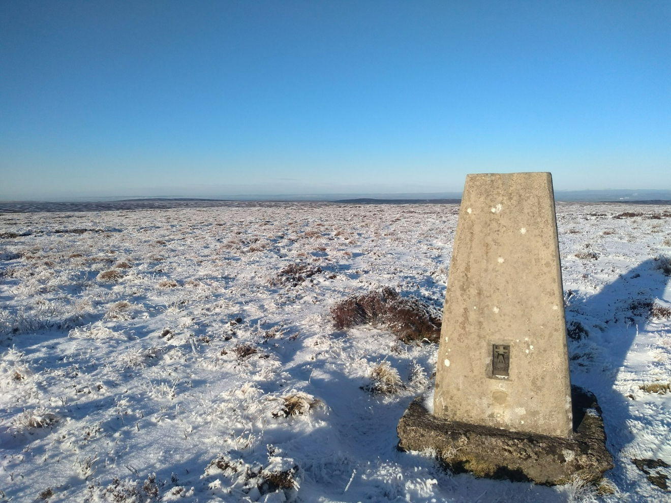
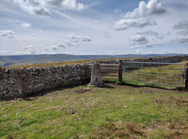
The Dry Rigg trig point sits on Redburn Common (561m) near Rookhope.
Height - 561m// Bracket - S6766 // Postcode - DL13 2DE
Login to be able to bag trig point and see which trig points are left on your to do list.
Login To Bag Trig Points
This is the Dry Rigg trig point (561m) near Rookhope.

From the parking layby, head N up the road for a 0.5km. Where a track heads W, turn onto the track but do not follow it. At this point you need to head over the moorland in a SW until you reach the trig.

The route is 3km from the parking area with 60m of ascent.
Follow the above route or find on OS Maps.
Login to be able to bag trigs and see which trigs are left on your to do list.
Login To Bag Trig PointsHow To Find Dry Rigg Trig Point
Where Is Dry Rigg Trig Point?
Lat / Long
54.799038, -2.136306
What three words
Where To Park For Dry Rigg Trig Point?
Lat / Long
54.800089, -2.104658
What three words
There is a large layby for parking several cars just before cattle grid on the road north of Rookhope.
More Trig Points Near Rookhope
Find more trig points near to Rookhope, County Durham.

Bolts Law Hunstanworth Trig Point
541m Bracket S6705 RookhopeThe Bolts Law Hunstanworth trig point sits on Stanhope Common (541m) near Rookhope.

Lintzgarth Common Trig Point
554m Bracket S6630 RookhopeThe Lintzgarth Common trig point sits on Windy Hill (554m) near Rookhope.
Find Us On Facebook
Come and join our friendly Facebook group and share photos of your trig bagging.
Or ask any questions about the trig points in Durham.
Join Durham Trigs Facebook Group
