Maryside Hill Trig Point
Trig Point In Ryton, Tyne And Wear
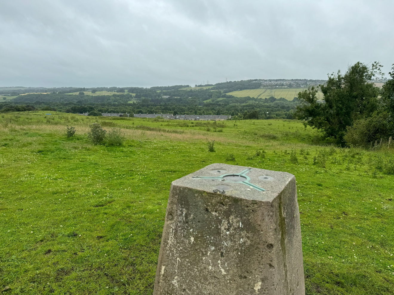
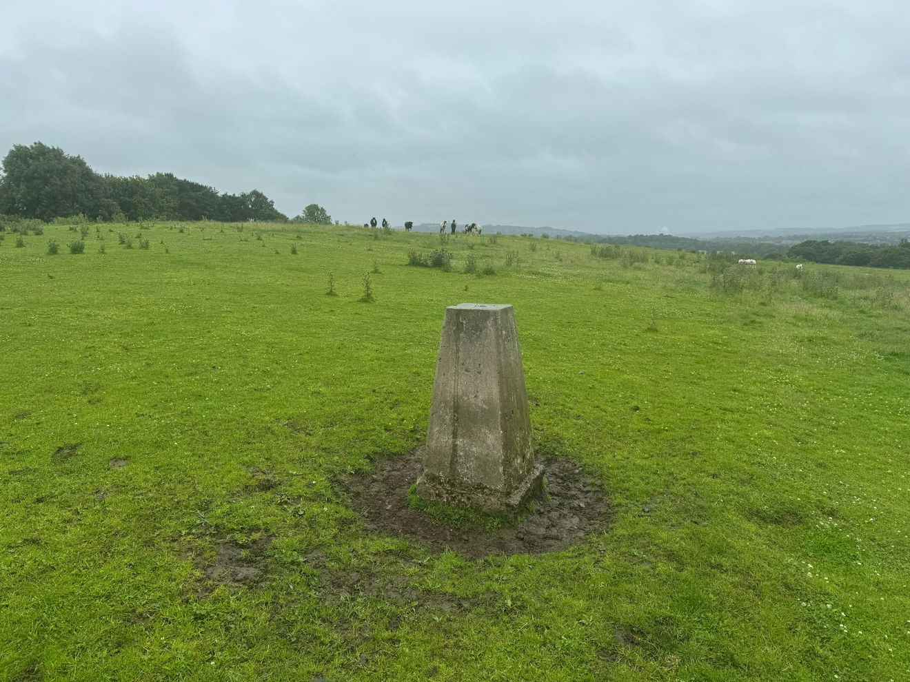
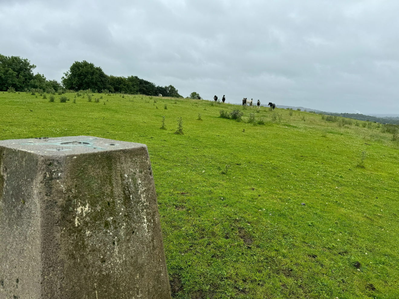
The Maryside Hill trig point sits in a field next to a golf course (51m) near Ryton.
Height - 51m// Bracket - S4429 // Postcode - NE40 3TA
Login to be able to bag trig point and see which trig points are left on your to do list.
Login To Bag Trig Points
This is the Maryside Hill trig point (51m) near Ryton.

From the car park, head West and follow the lane as it turns right.
There is then a PROW on the left that takes you through the golf course.
After just over 0.5km, leave the PROW to head NNW.

Be very careful as this crosses the golf course and is not on a PROW.
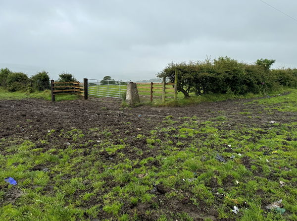
The trig is in a field to the left. A style that accessed the field has unfortunately been removed.
This route is approximately 1.5km.
Follow above route, or find on OS Maps.
Login to be able to bag trigs and see which trigs are left on your to do list.
Login To Bag Trig PointsHow To Find Maryside Hill Trig Point
Where Is Maryside Hill Trig Point?
Lat / Long
54.97797, -1.7854253
What three words
Where To Park For Maryside Hill Trig Point?
Lat / Long
54.977051, -1.768672
What three words
There is a car park on the left just inside the entry road to Tyneside Golf Club.
More Trig Points Near Ryton
Find more trig points near to Ryton, Tyne And Wear.

Broomfield Farm Trig Point
255m Bracket S4559 RytonThe Broomfield Farm trig point is on the edge of a field (255m) near Chopwell.
Find Us On Facebook
Come and join our friendly Facebook group and share photos of your trig bagging.
Or ask any questions about the trig points in Durham.
Join Durham Trigs Facebook Group
