Stoterley Hill Trig Point
Trig Point In Consett, County Durham
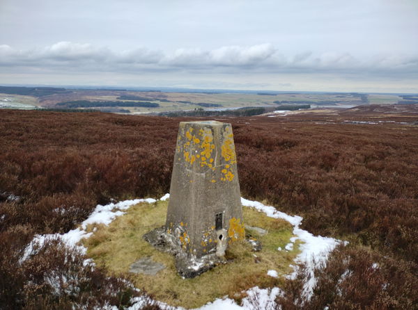
The Stoterley Hill trig point is sitting on Muggleswick Common (376m) near Consett.
Height - 376m// Bracket - S4106 // Postcode - DH8 9NB
Login to be able to bag trig point and see which trig points are left on your to do list.
Login To Bag Trig Points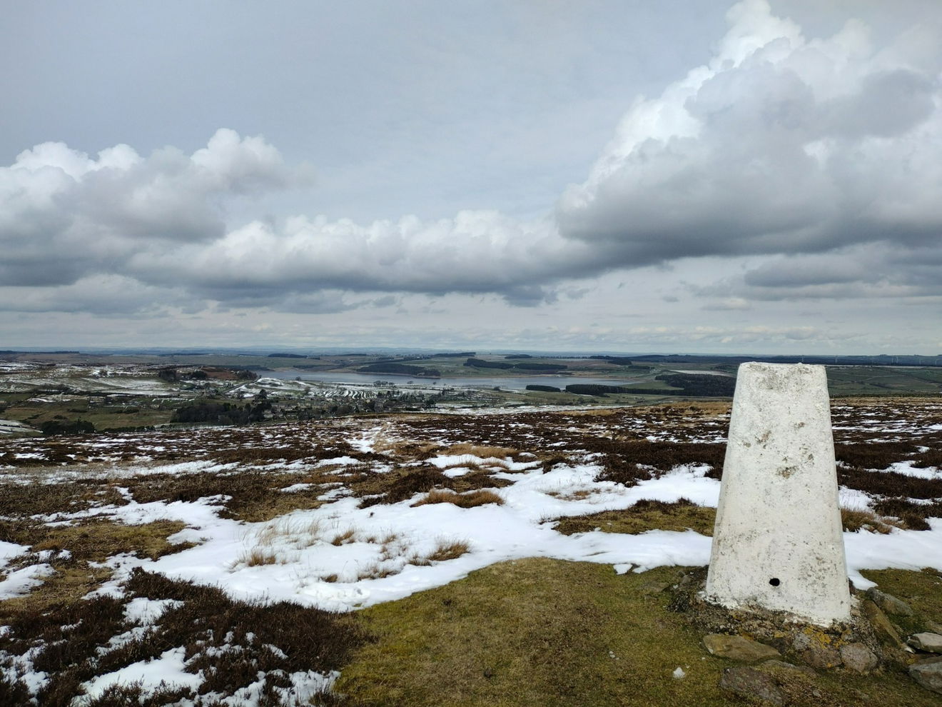
This is the Stoterley Hill trig point sitting on Muggleswick Common (376m) near Consett.
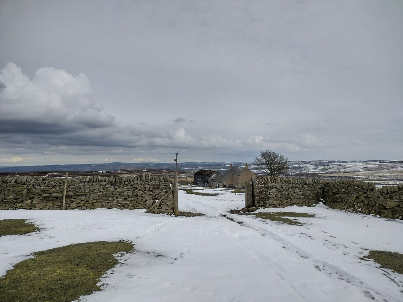
Once parked, head SW on the road until you meet a track heading south. Stay on this track until you reach Lamb Shield Farm. At this point, turn right and walk past the farmhouse and through the open gate.
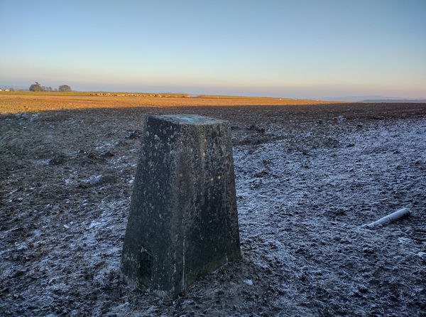
(Picture looking back through the gate to the farmhouse).
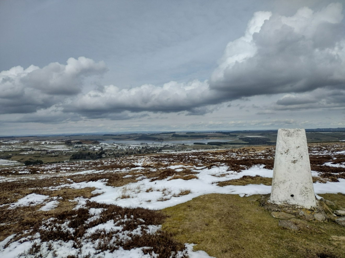
Continue walking west until the trig comes into view. From the trig point, there are beautiful views over Derwent Reservoir.
The route is about 1.5km to the trig point with 100m of ascent.
Follow the above route, or use OS Maps.
Login to be able to bag trigs and see which trigs are left on your to do list.
Login To Bag Trig PointsHow To Find Stoterley Hill Trig Point
Where Is Stoterley Hill Trig Point?
Lat / Long
54.83235, -1.974462
What three words
Where To Park For Stoterley Hill Trig Point?
Lat / Long
54.842025, -1.964262
What three words
There is parking for several vehicles on the side of road near East Cot House.
More Trig Points Near Consett
Find more trig points near to Consett, County Durham.
Pontop Pike Trig Point
313m Bracket S4121 ConsettThe Pontop Pike trig point is sitting next to the Pontop Pike Masts (313m) near Consett.
Roughside Moor Trig Point
384m Bracket S6694 ConsettThe Roughside Moor trig point sits on top of Edmondbyers Common (384m) near Consett.
Grange Farm Trig Point
280m Bracket S4104 ConsettThe Grange Farm trig point is sitting in a field in Cornsay (280m) near Consett.

Find Us On Facebook
Come and join our friendly Facebook group and share photos of your trig bagging.
Or ask any questions about the trig points in Durham.
Join Durham Trigs Facebook Group