Westernhope Moor Trig Point
Trig Point In Middleton-in-Teesdale, County Durham
The Westernhope Moor trig point sits on moorland (676m) north of Middleton-in-Teesdale.
Height - 676m// Bracket - S6752 // Postcode - DL12 0UF
Login to be able to bag trig point and see which trig points are left on your to do list.
Login To Bag Trig Points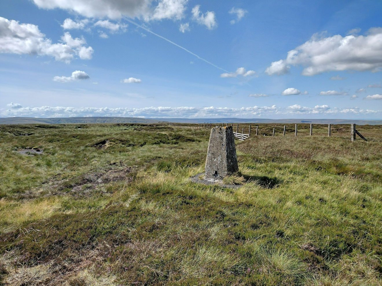
This is the Westernhope Moor trig point (676m) near Middleton-in-Teesdale.
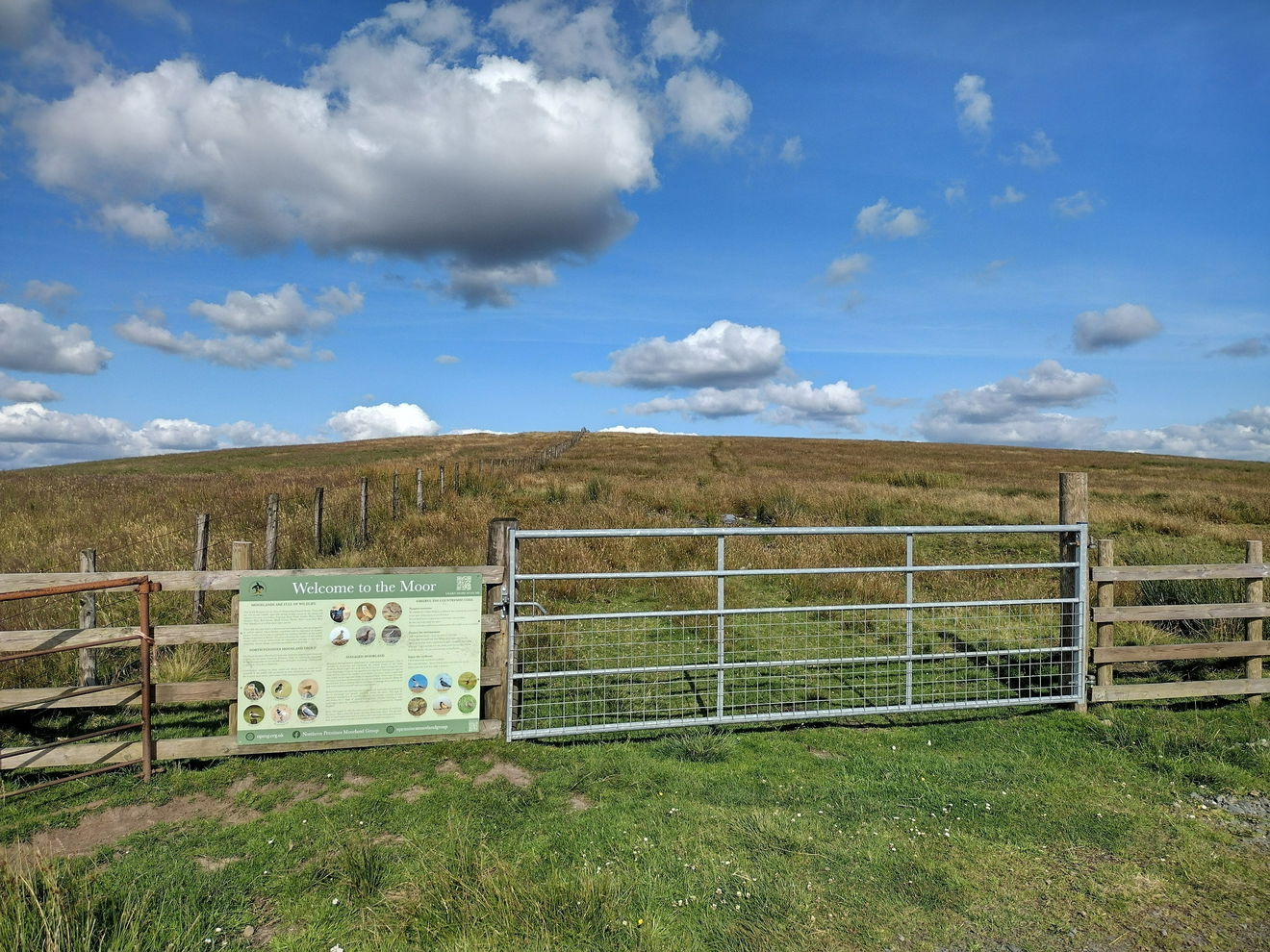
From the layby, cross the road and head through the gate. Follow the fence line on the left.
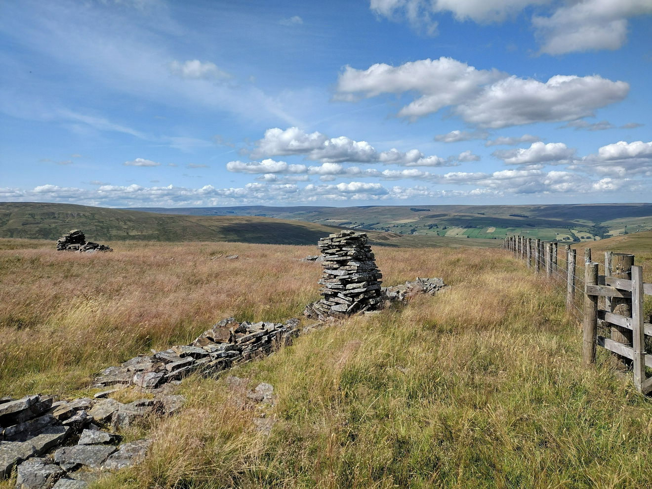
Walk through the broken wall, remaining on the path up the side of the left hand fence.
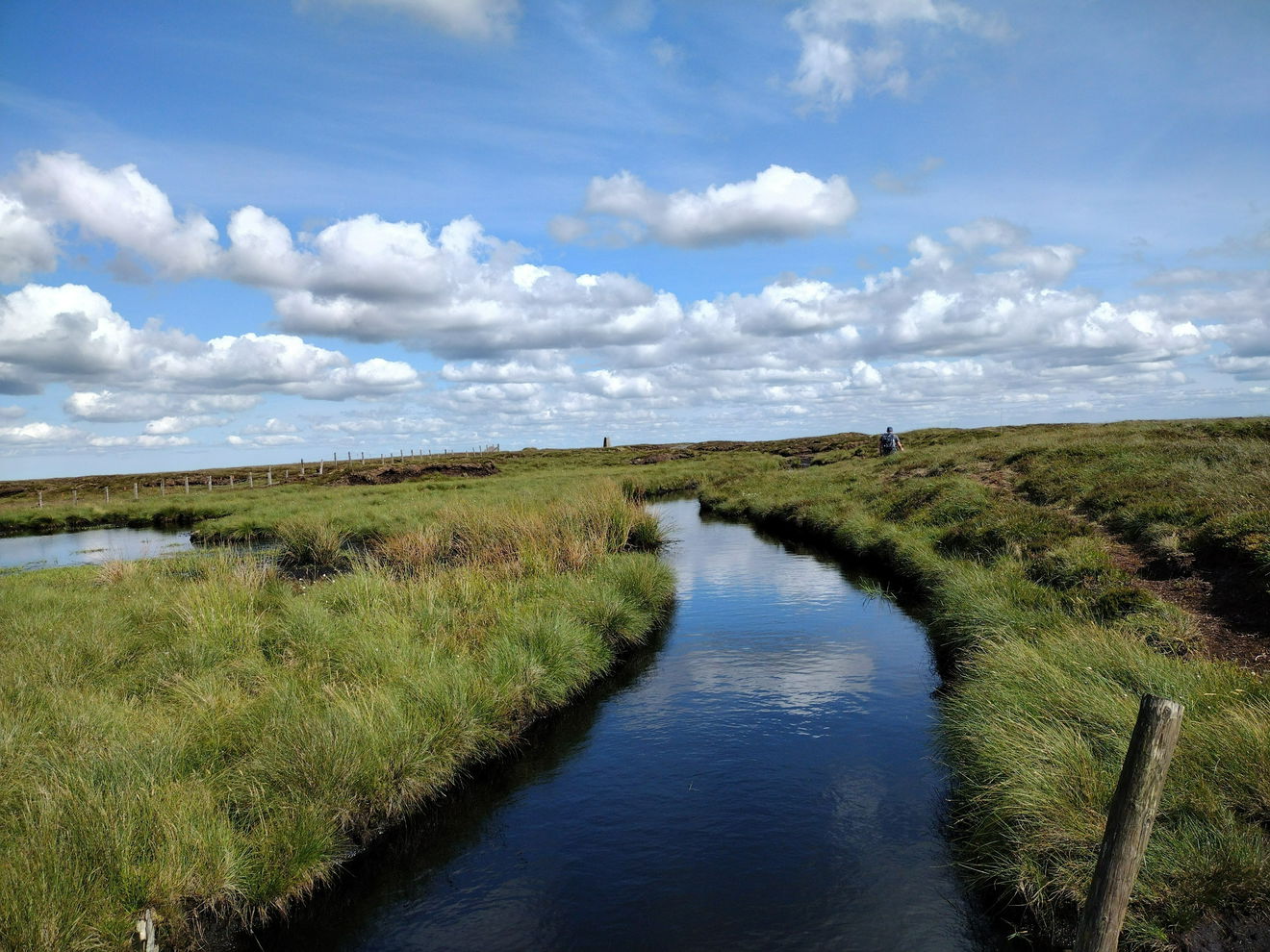
The ground is can be very boggy, especially on the final approach to the trig point.
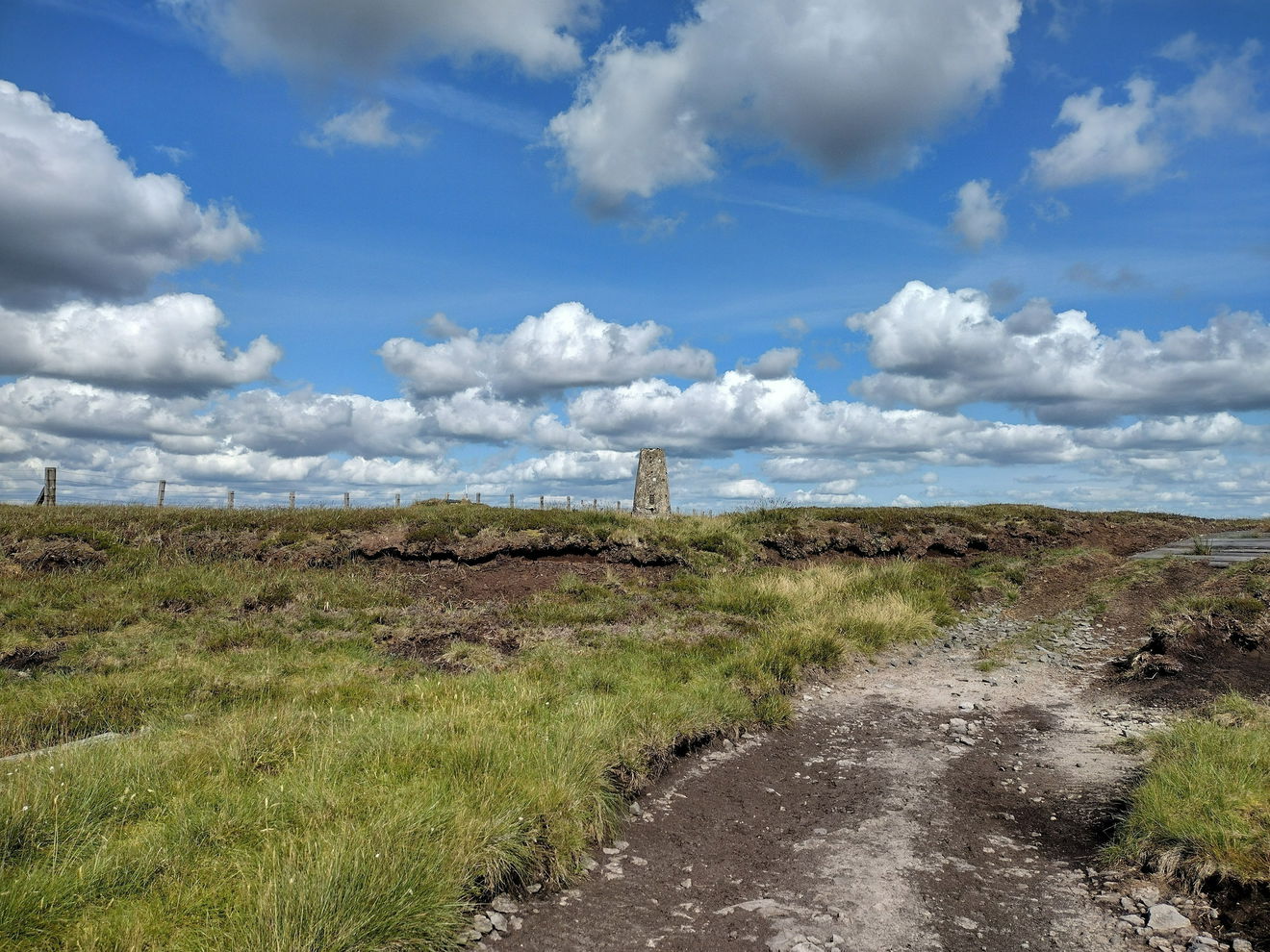
This route is approximately 3km with 70m ascent.
Follow the above route, or find on OS Maps.
Login to be able to bag trigs and see which trigs are left on your to do list.
Login To Bag Trig PointsHow To Find Westernhope Moor Trig Point
Where Is Westernhope Moor Trig Point?
Lat / Long
54.688017, -2.1207606
What three words
Where To Park For Westernhope Moor Trig Point?
Lat / Long
54.688026, -2.120777
What three words
There is a large layby on the southside of the cattlegrid.
More Trig Points Near Middleton-in-Teesdale
Find more trig points near to Middleton-in-Teesdale, County Durham.
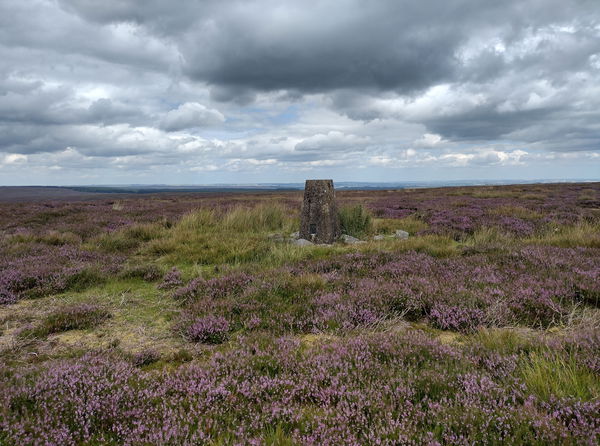
Eggleston Moor Trig Point
461m Bracket S4278 Middleton-in-TeesdaleThe Eggleston Moor trig point sits on Grey Carrs moorland (461m) near Middleton-in-Teesdale.
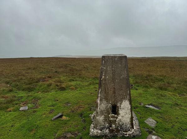
Hardberry Hill Trig Point
530m Bracket 10683 Middleton-in-TeesdaleThe Hardberry Hill trig point sits above the Coldberry Gutter (530m) near Middleton-in-Teesdale.
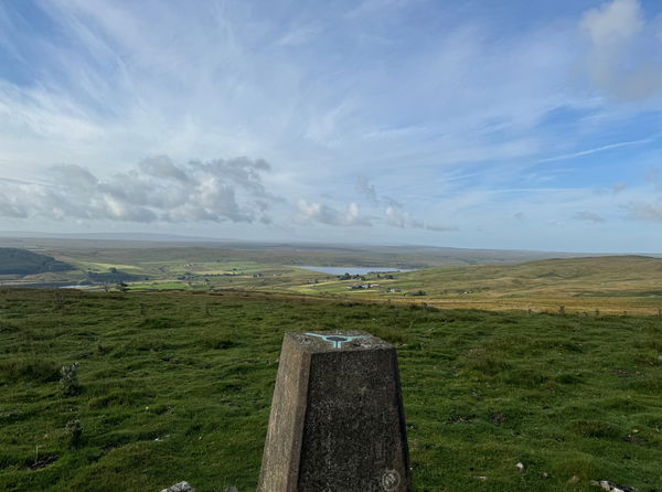
Harter Fell Trig Point
481m Bracket S4279 Middleton-in-TeesdaleThe Harter Fell trig point sits on Crossthwaite Common (481m) near Middleton-in-Teesdale.
Find Us On Facebook
Come and join our friendly Facebook group and share photos of your trig bagging.
Or ask any questions about the trig points in Durham.
Join Durham Trigs Facebook Group
