Wolfcleugh Common Trig Point
Trig Point In Alston, Northumberland
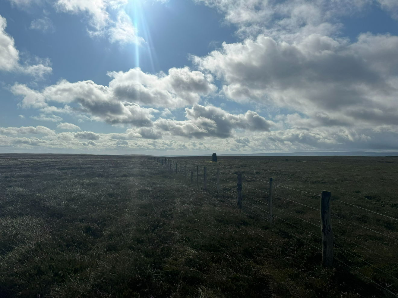
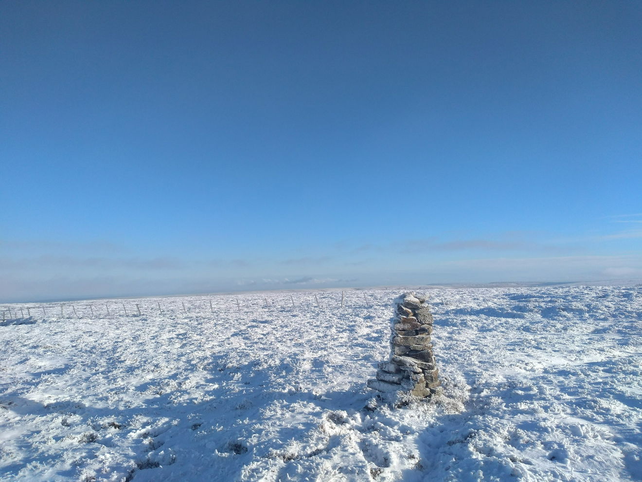
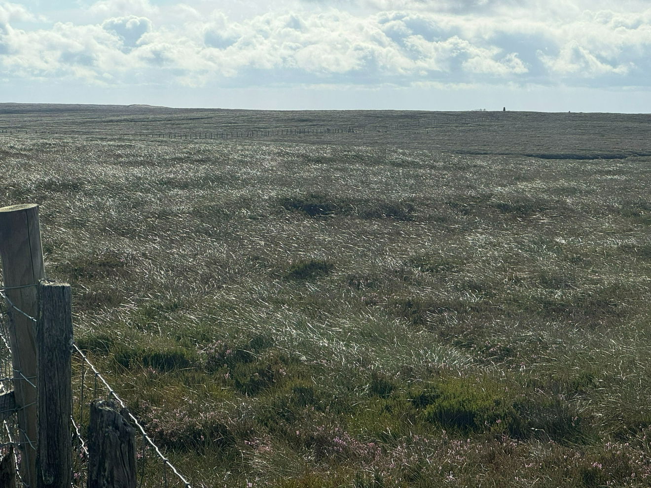
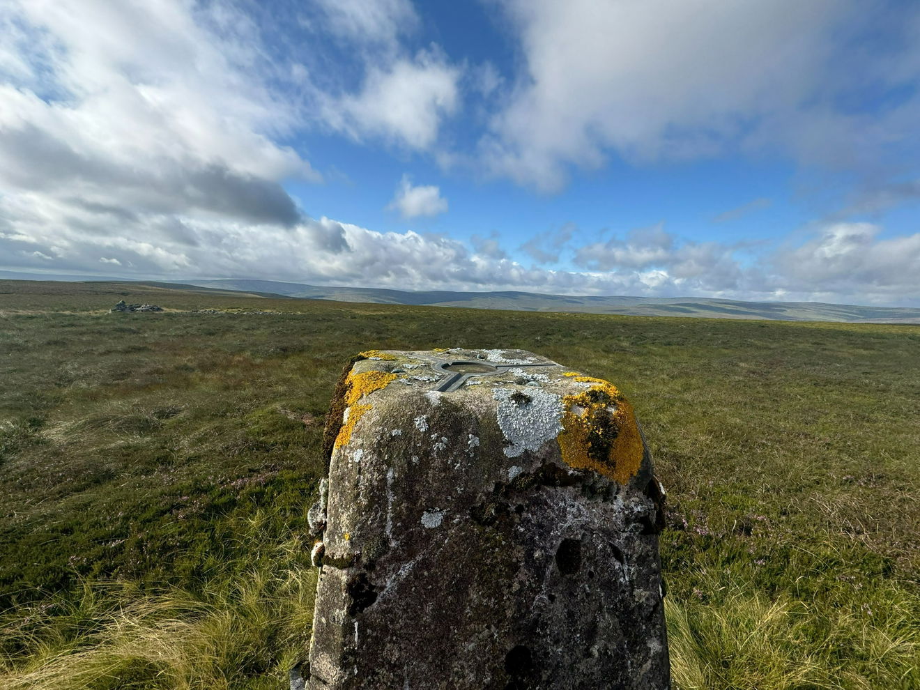
The Wolfcleugh Common trig point sits on moorland (607m) near Alston.
Height - 607m// Bracket - S6384 // Postcode - DL13 1AH
Login to be able to bag trig point and see which trig points are left on your to do list.
Login To Bag Trig Points
This is the Wolfcleugh Common trig point (607m) near Alston.

From the layby, cross the road and go through the gate.

Follow the fence line until you see the trig on the right.

This route is approximately 1.5km with 40m of ascent.
Follow above route, or find on OS Maps.
Login to be able to bag trigs and see which trigs are left on your to do list.
Login To Bag Trig PointsHow To Find Wolfcleugh Common Trig Point
Where Is Wolfcleugh Common Trig Point?
Lat / Long
54.781379, -2.2069098
What three words
Where To Park For Wolfcleugh Common Trig Point?
Lat / Long
54.78381, -2.23071
What three words
There is a large layby for several cars near the county border sign.
More Trig Points Near Alston
Find more trig points near to Alston, Northumberland.

Highwatch Currick Trig Point
639m Bracket S6488 AlstonThe Highwatch Currick trig point sits above Burnhope Reservoir (639m) near Alston.

Coldberry End Trig Point
708m Bracket S6578 AlstonThe Coldberry End trig point can be found on Ireshope Moor (708m) near Alston.
Find Us On Facebook
Come and join our friendly Facebook group and share photos of your trig bagging.
Or ask any questions about the trig points in Durham.
Join Durham Trigs Facebook Group
