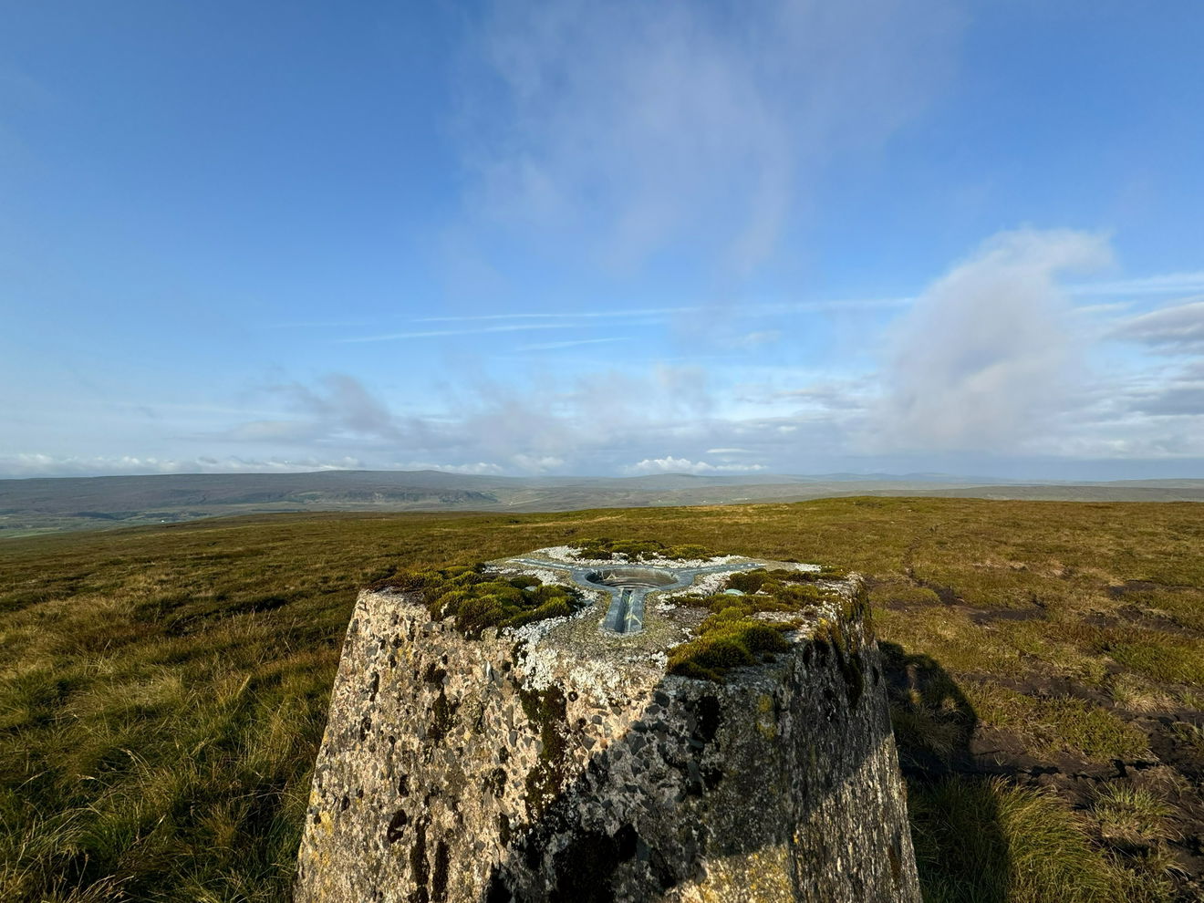
Fendrith Hill Trig Point
Trig Point In Stanhope, County Durham
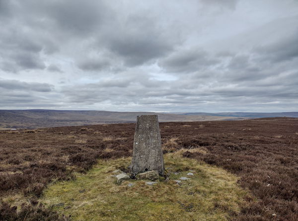
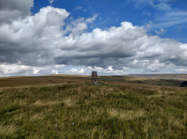
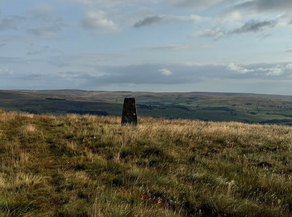
The Fendrith Hill trig point sits south of Chapel Fell (696m) near Stanhope.
Height - 696m// Bracket - S6501 // Postcode - DL13 1PB
Login to be able to bag trig point and see which trig points are left on your to do list.
Login To Bag Trig Points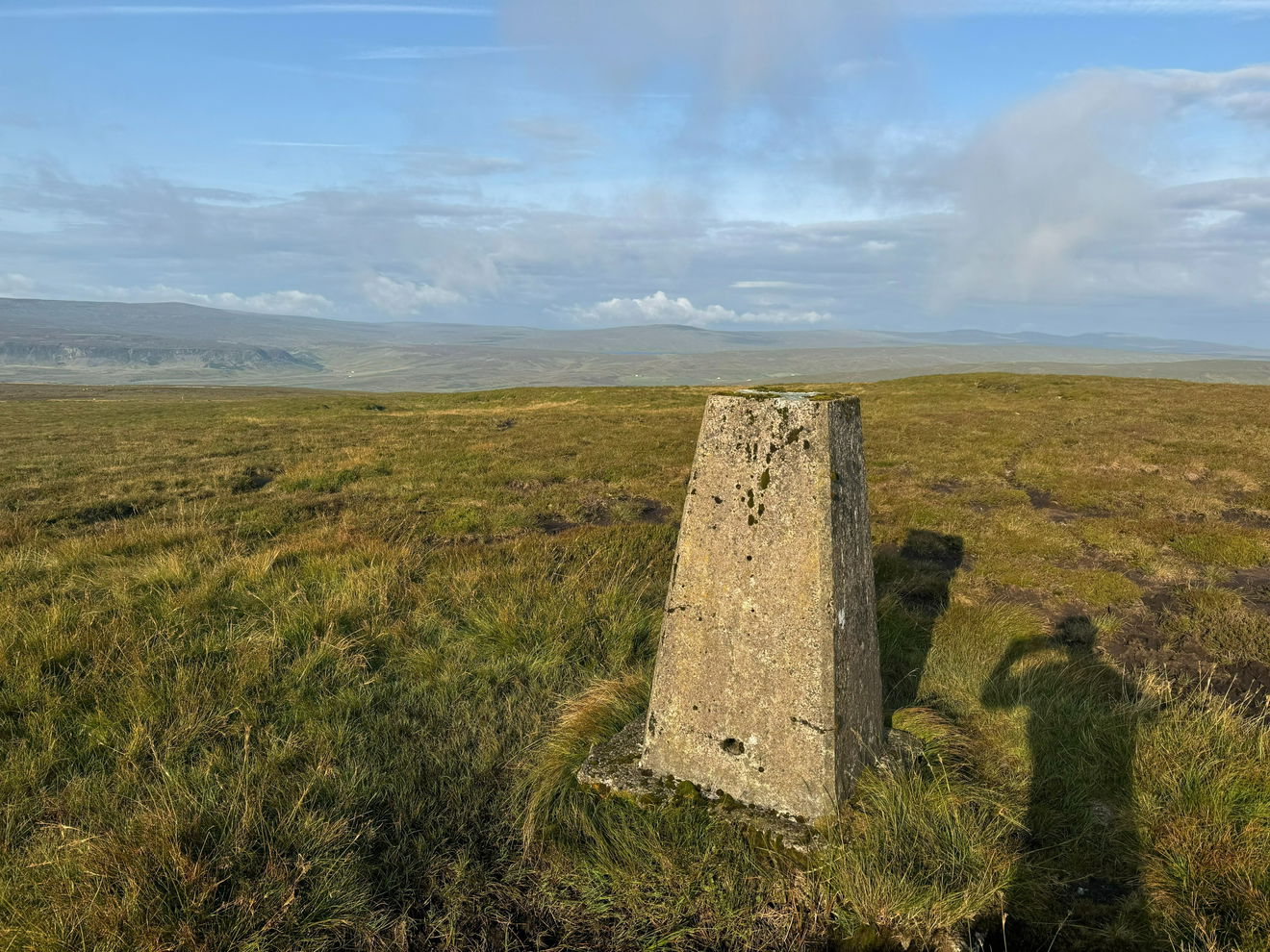
This is the Fendrith Hill trig point (696m) near Stanhope.
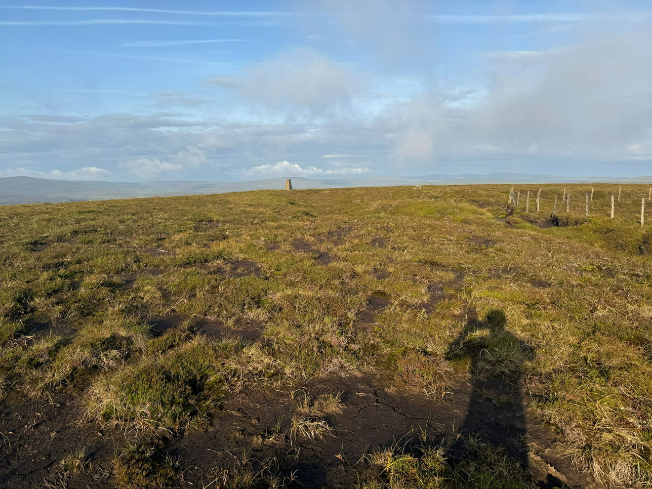
From the layby, head west, go through the gate and head up in line with the fence.
This will take you all the way to the trig.
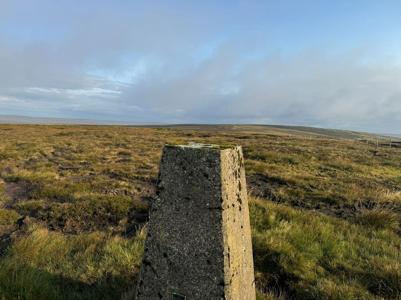
This route is 2.2km with 90m of ascent.
Follow above route, or find on OS Maps.
Login to be able to bag trigs and see which trigs are left on your to do list.
Login To Bag Trig PointsHow To Find Fendrith Hill Trig Point
Where Is Fendrith Hill Trig Point?
Lat / Long
54.694907, -2.1923196
What three words
Where To Park For Fendrith Hill Trig Point?
Lat / Long
54.693551, -2.158758
What three words
The layby is large enough to take several cars.
More Trig Points Near Stanhope
Find more trig points near to Stanhope, County Durham.
Five Pikes Trig Point
479m Bracket S4250 StanhopeThe Five Pikes trig point sits on moorland south of Bollihope (479m) near Stanhope.
Crow Coal Hill Trig Point
466m Bracket S6627 StanhopeThe Crow Coal Hill trig point sits on Reahope Moor (466m) near Stanhope.
Black Hill Trig Point
559m Bracket S6722 StanhopeThe Black Hill trig point sits north of Westernhope Moor (559m) near Stanhope.

Find Us On Facebook
Come and join our friendly Facebook group and share photos of your trig bagging.
Or ask any questions about the trig points in Durham.
Join Durham Trigs Facebook Group