Pikestone Fell Trig Point
Trig Point In Stanhope, County Durham
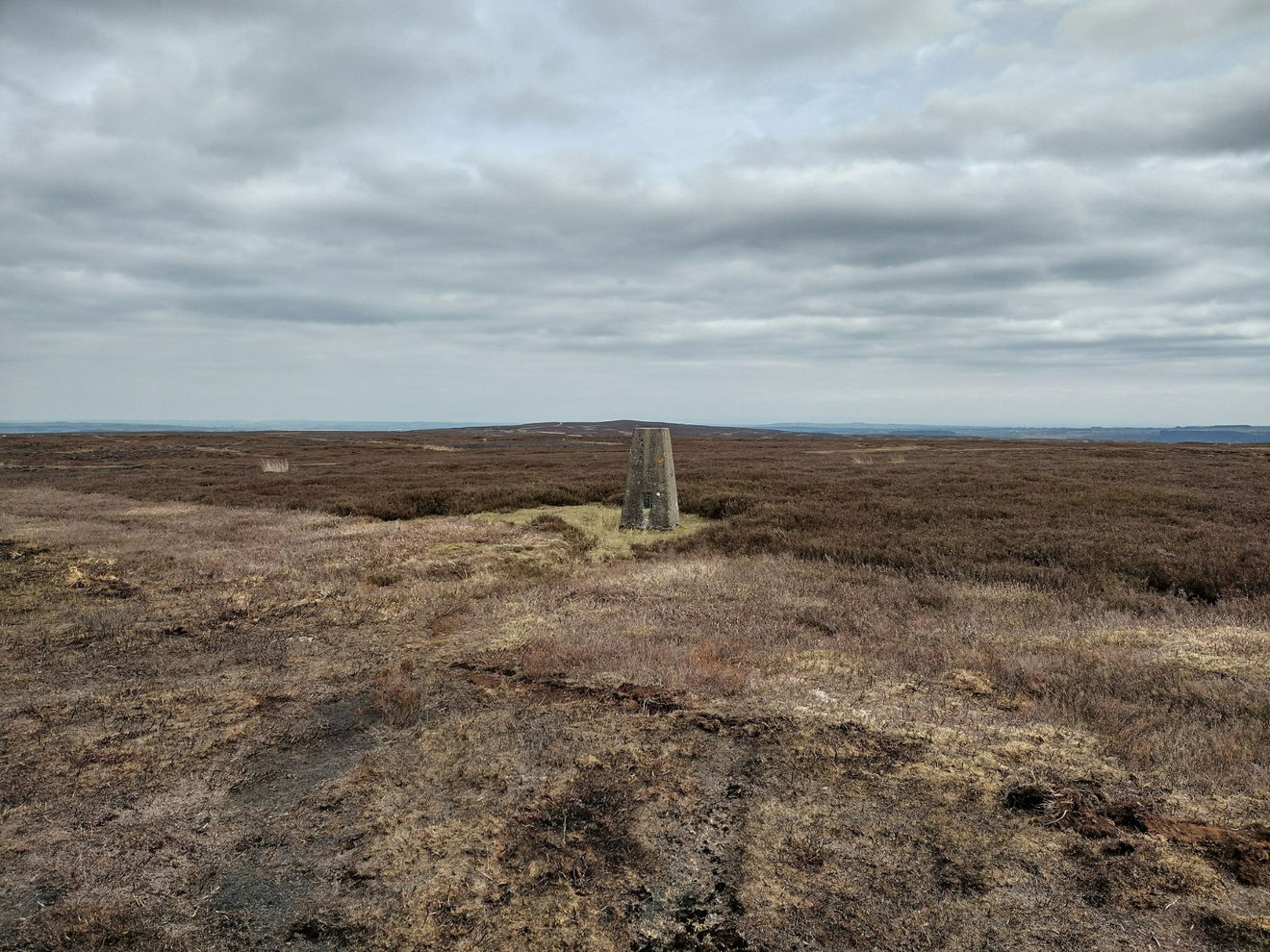
This is the trig point for Pikestone Fell (387m) near Stanhope.
Height - 387m// Bracket - S4236 // Postcode - DL13 2ST
Login to be able to bag trig point and see which trig points are left on your to do list.
Login To Bag Trig Points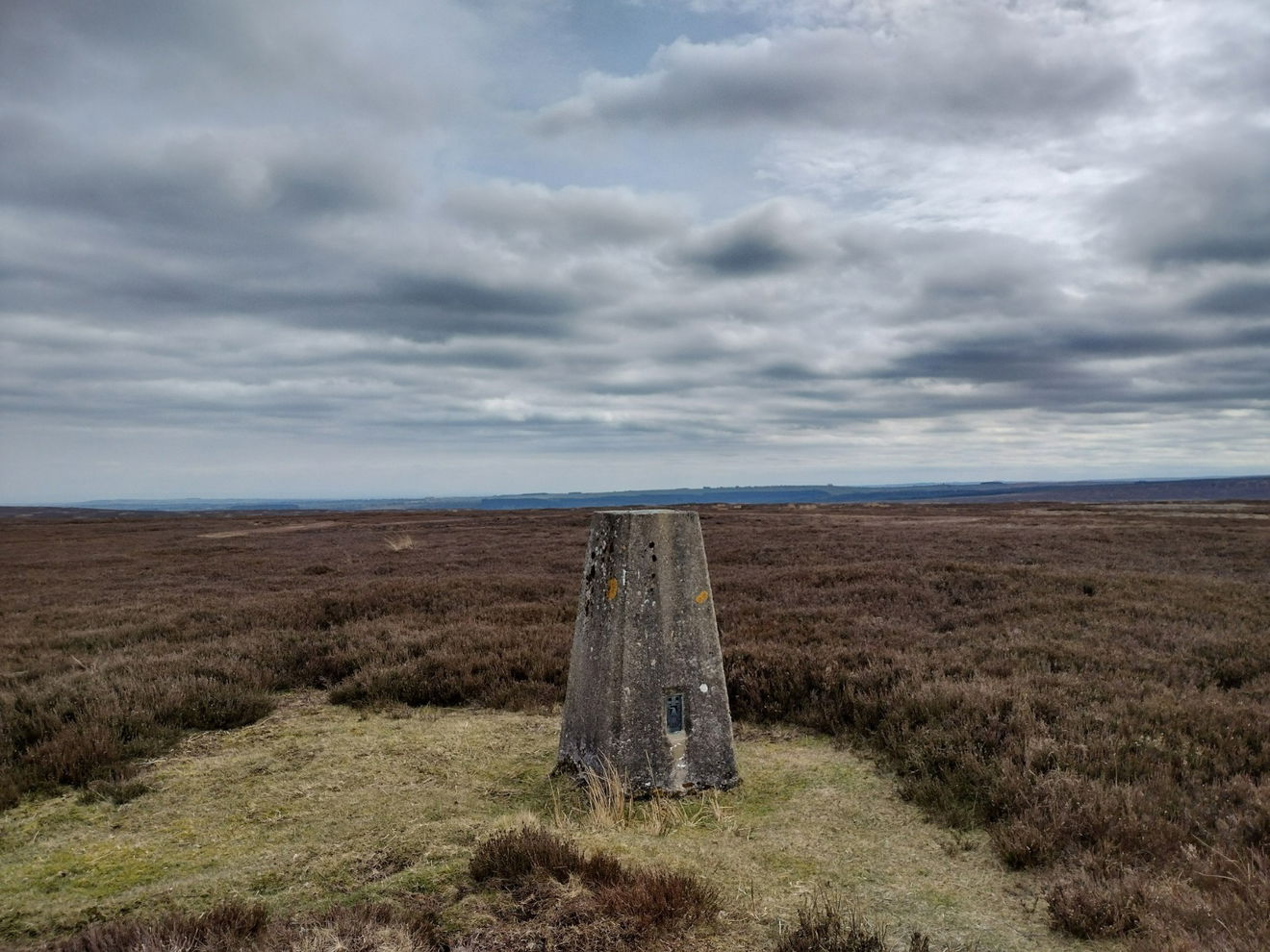
This is the Pikestone Fell trig point (387m) near Stanhope.
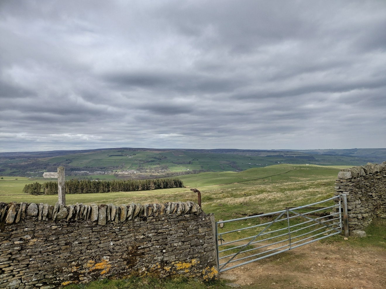
From the car park, follow the road N slightly before joining the track heading NE. Follow this track for 5.5km keeping your eyes peeled to the right. Once you spot the trig point, make your way down a heathery path to the trig.
This route is 6km from the car park with 55m ascent.
Follow the above route or find on OS Maps.
Login to be able to bag trigs and see which trigs are left on your to do list.
Login To Bag Trig PointsHow To Find Pikestone Fell Trig Point
Where Is Pikestone Fell Trig Point?
Lat / Long
54.70034, -1.9424938
What three words
Where To Park For Pikestone Fell Trig Point?
Lat / Long
54.670992, -2.006182
What three words
There is a large parking area on the east side of the B6278.
More Trig Points Near Stanhope
Find more trig points near to Stanhope, County Durham.

Five Pikes Trig Point
479m Bracket S4250 StanhopeThe Five Pikes trig point sits on moorland south of Bollihope (479m) near Stanhope.

Fendrith Hill Trig Point
696m Bracket S6501 StanhopeThe Fendrith Hill trig point sits south of Chapel Fell (696m) near Stanhope.

Catterick Moss Trig Point
426m Bracket S4249 StanhopeThe Catterick Moss trig point is on moorland (426m) near Stanhope.

Find Us On Facebook
Come and join our friendly Facebook group and share photos of your trig bagging.
Or ask any questions about the trig points in Durham.
Join Durham Trigs Facebook Group