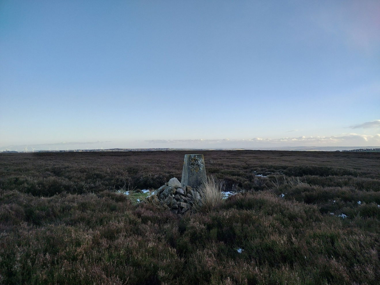
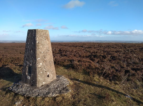
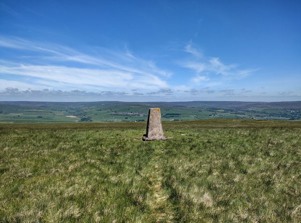
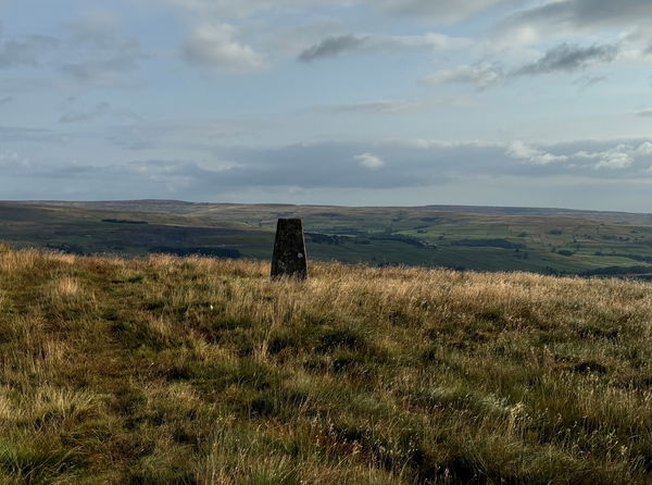
Sand Edge Common Trig Point
Trig Point In Stanhope, County Durham
The Sand Edge Common trig point is on Wolsingham North Moor (353m) near Stanhope.
Height - 353m// Bracket - S4248 // Postcode - DL13 3LU
Login to be able to bag trig point and see which trig points are left on your to do list.
Login To Bag Trig Points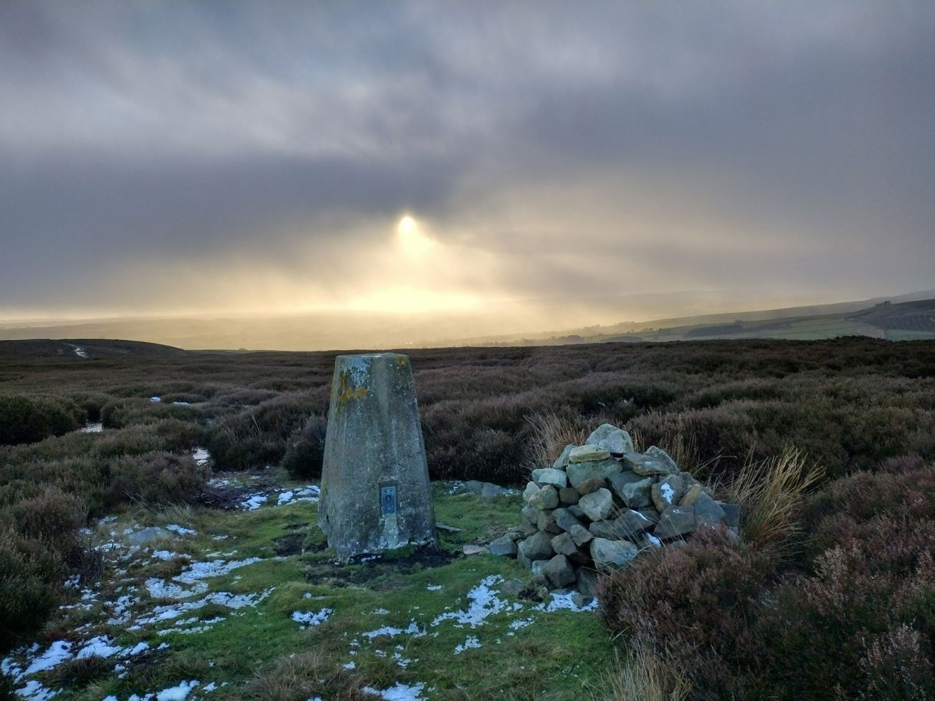
This is the Sand Edge Common trig point (353m) near Stanhope.
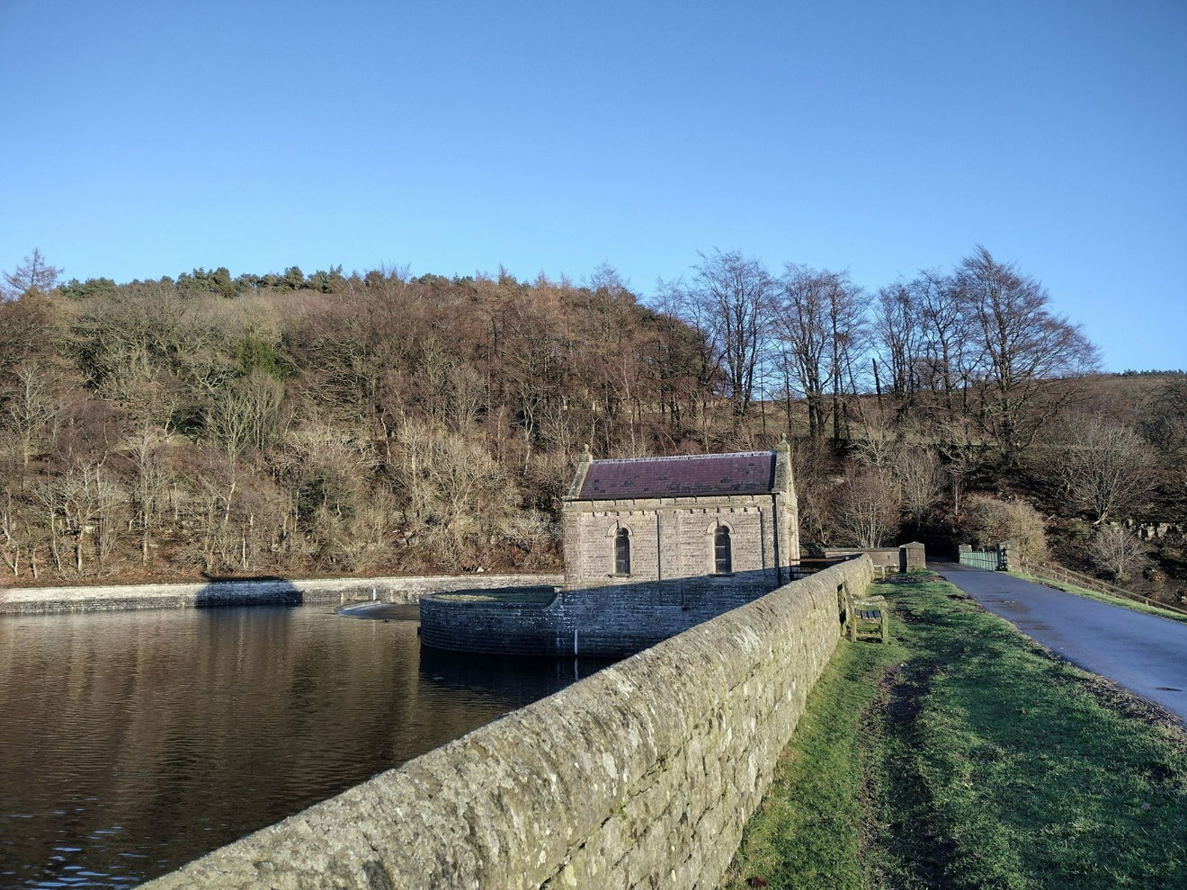
From the Tunstall Reservoir car park turn left and follow the road up to the wear, turn left and cross the wear. Stay on this track as it bends left then right and past Backstone Bank.
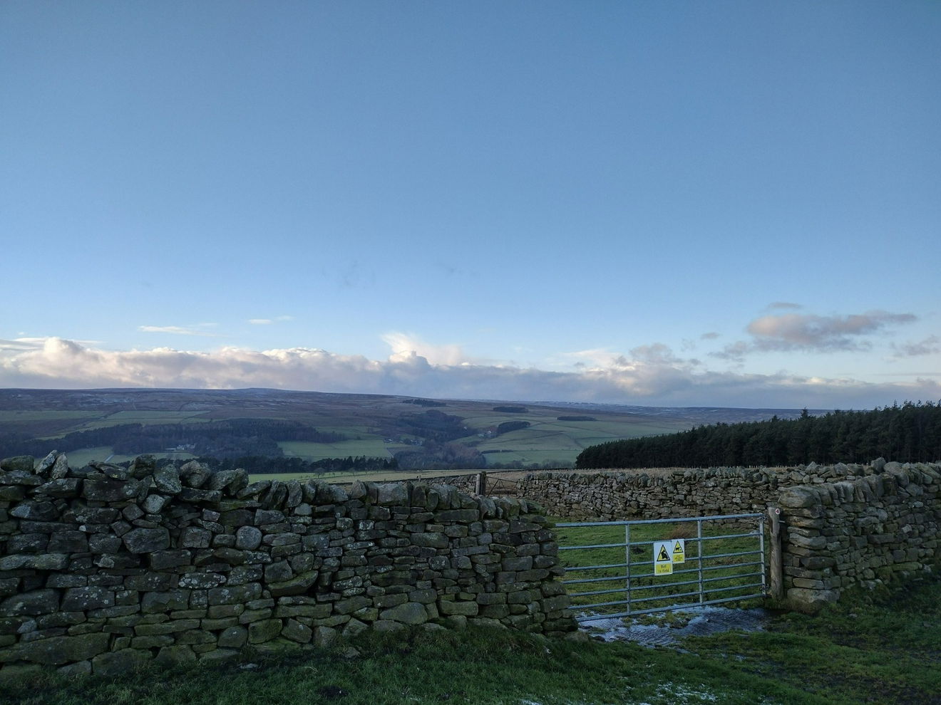
Continue along the path heading E. When the path comes to a junction, turning right follow this path S for a short distance before the trig point come into view on the left.
This route is 2.5km from the car park with 135m ascent.
Follow above route or find on OS Maps.
Login to be able to bag trigs and see which trigs are left on your to do list.
Login To Bag Trig PointsHow To Find Sand Edge Common Trig Point
Where Is Sand Edge Common Trig Point?
Lat / Long
54.758627, -1.8814673
What three words
Where To Park For Sand Edge Common Trig Point?
Lat / Long
54.767074, -1.901772
What three words
There is plenty of parking at the fishing lodge on the western side of Tunstall Reservoir.
More Trig Points Near Stanhope
Find more trig points near to Stanhope, County Durham.
Collier Law Trig Point
517m Bracket S2956 StanhopeThe Collier Law trig point sits on Wolsingham Park Moor (517m) near Stanhope.
Bollihope Carrs Trig Point
541m Bracket S6631 StanhopeThe Bollihope Carrs trig point sits on Snowhope Moor (541m) near Stanhope.
Black Hill Trig Point
559m Bracket S6722 StanhopeThe Black Hill trig point sits north of Westernhope Moor (559m) near Stanhope.

Find Us On Facebook
Come and join our friendly Facebook group and share photos of your trig bagging.
Or ask any questions about the trig points in Durham.
Join Durham Trigs Facebook Group